

Orienteering GPS Logger app for iPhone and iPad
Developer: Avniel Apps LLC
First release : 28 Apr 2016
App size: 14.64 Mb
This is a free and open source GPS logging app. Its purpose is to provide logging ONLY, with no user-accessible map drawn in the field. The intended use is for orienteering and land navigation training - scenarios in which a drawn map would serve as a "cheat" and defeat the purpose of the training. The app provides nothing of value to the user in the field, but the GPS track it records can be used later for post-event analysis and education.
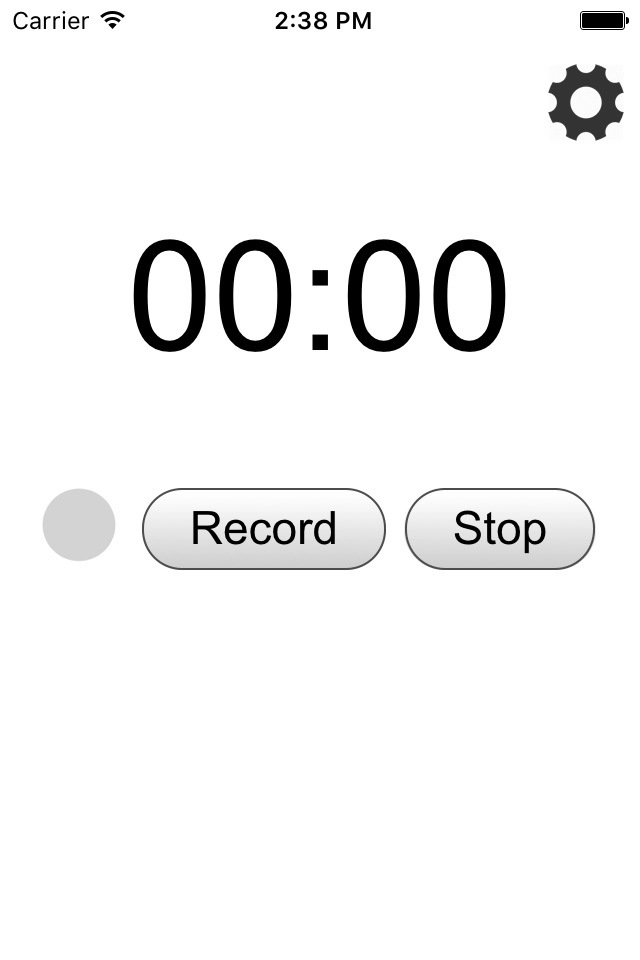
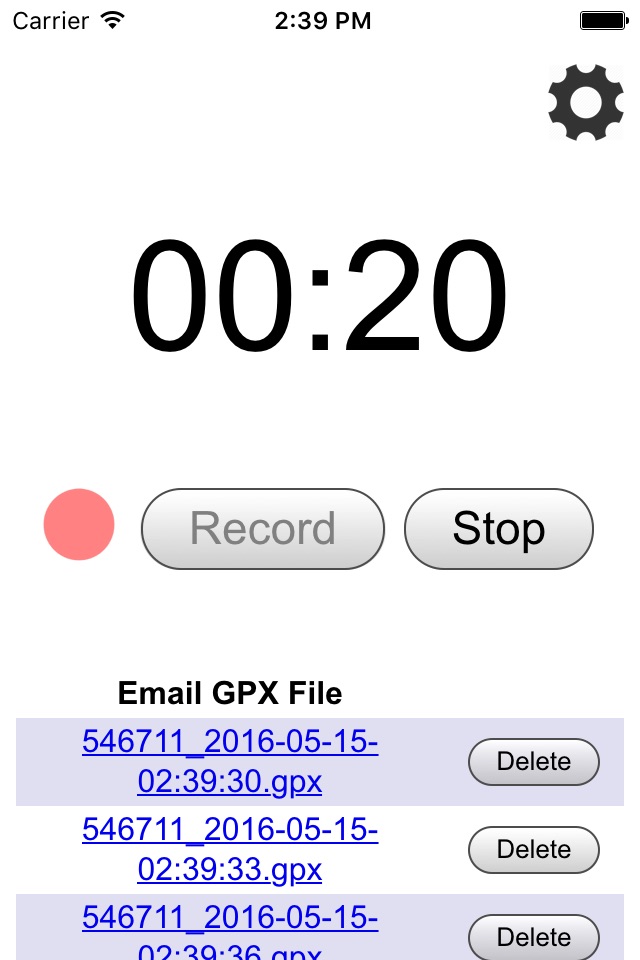
To use the app, the user simply presses "Record" when beginning their course, and "Stop" when finishing. The app saves the recorded GPS log in common GPX format (XML file containing regularly-recorded lat/long coordinates with associated time stamps) under a date-stamped file name. The user can then email that file out of the device so it can be used on their computer.
There are numerous GPX file viewers available to see the route taken after the exercise is over. For orienteering in particular, the QuickRoute app can overlay the route on the map and facilitate analysis of speed, compass direction, time measurement, and much more. Many clubs also use a tool on their web site called RouteGadget, which allows multiple competitors to upload their routes on the same course for comparison, discussion, training, and "live playback". The intent for all of these applications is to improve navigation skills through review of the logged track.